Friday, October 28, 2016

Soggy Halloween on tap.. otherwise staying mild through first part of November

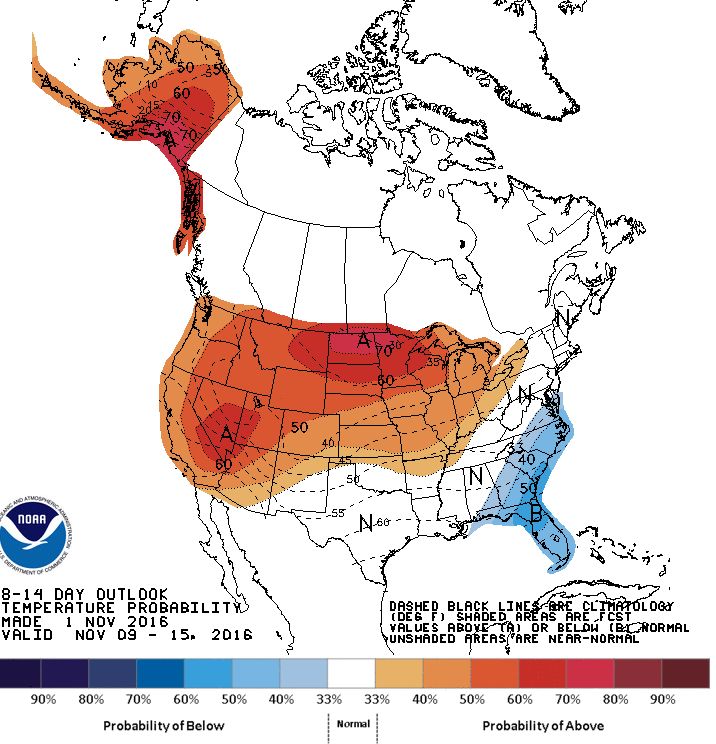
 Milder than normal weather is expected to continue over southern Manitoba through the first part of November, with no real signs of winter weather just yet. Temperatures are expected to range some 5-10C above normal for early November with highs of 8-15C through the first week (normal highs for November in Winnipeg drop from +5C on Nov 1st to +1C on Nov 10th) In particular, Thursday Nov 3rd is looking very mild with highs of 15C possible for Winnipeg and southern MB.


Generally dry weather is expected through the period, with the exception of one day.. unfortunately falling on Halloween. A low pressure system is forecast to track across North Dakota next Monday Oct 31st spreading an area of rain across southern MB. This system could bring 10-25 mm over portions of the Red River valley likely starting Monday morning and continuing in the evening before tapering off by midnight. Temperatures will be around +7C Halloween evening.. so conditions will be relatively mild, but wet.        


UPDATE: Winnipeg airport recorded 15.8 mm of rain on Oct 31st, making it the city's rainiest Oct 31st on record. The previous rainfall record for Oct 31 was 11.6 mm in 2000. Another 1.7 mm fell early this morning for a storm total of 17.5 mm. Rainfalls of 15 mm or more become less frequent in Winnipeg as we get into November, especially after the first week (see Nov precip records for Winnipeg). But they have occurred as late as December with 21.8 mm on Dec 2nd 1982, and an unusual 15.2 mm on Dec 22 1877 (during the freakishly warmest December on record in Winnipeg)   The rainiest November day in Winnipeg was on Nov 17 1918 when an astounding 44.5 mm of rain fell, with 50.9 mm over the 2 day span of Nov 16-17.   

WINNIPEG HALLOWEEN WEATHER STATS


Wednesday, September 28, 2016

Beautiful fall weather to close out September and begin October. Unsettled weather returns next week with colder conditions by Thanksgiving weekend

Lovely fall weather will finally prevail over Winnipeg and the RRV over the next few days as a sprawling high pressure ridge brings sunny and milder weather into southern Manitoba. Today will see plenty of sunshine and light winds.. a pleasant change from the cloudy, cool and blustery conditions over the last couple of days.  And the good news is that this pleasant fall weather is expected to continue through the weekend into early next week with generally sunny skies, and above normal temperatures near the 20C mark. Unfortunately, it looks like the ideal weather will be giving way to more unsettled conditions next week, as a strong low pressure system organizes in the western US and tracks towards southern Manitoba. This system will likely bring rain back into our area next Tuesday through Thursday, with much cooler conditions expected by late week into Thanksgiving weekend behind the system. In fact, model guidance is suggesting highs only in the single digits over Thanksgiving weekend with a killing frost possible.            

Thursday, September 01, 2016

Summery start to September to give way to cooler wetter conditions over Labour Day weekend

September is off to a beautiful start over southern Manitoba with sunshine, balmy breezes and summerlike temperatures in the upper 20s (and even low 30s over western MB)  Friday will see another warm summerlike day, although winds will be quite gusty, especially in the Red River valley (including Winnipeg) where southerly winds gusting to 60 -70 km/h are expected by afternoon. Not the best bike riding weather if you're heading south!  Friday night, a weak front will push through southern Manitoba with a small chance of thunderstorms, leading to partly sunny skies Saturday and temperatures in the mid 20s. Clouds are expected to increase Saturday afternoon with a few showers likely by evening as a cold front pushes through. Sunday looks cooler and unsettled at this point as a low pressure system over the Dakotas rides up along the cold front and spreads an area of steady rain over much of southern Manitoba by the afternoon into the evening. This could be quite a soaking rainfall for many areas, with rainfall amounts of 20-40 mm possible Sunday afternoon into Monday morning. Rainfall should ease off Monday morning leaving cloudy and cool conditions Labour day Monday.  The rest of the week looks generally cooler than normal with temperatures in the upper teens.. a taste of fall as the kids head back to school! 

Wednesday, July 13, 2016

Cool wet weather to give way to drier warmer conditions by weekend into next week

Departure from normal precip (mm) across Prairies since
Apr 1st. It's been notably wet across the far south
The frustrating weather pattern that has plagued southern Manitoba with frequent precipitation events over the past 6-7 weeks continues to linger into mid July with yet more rain today. A large storm system tracking through northern Manitoba will bring cool, windy and unsettled conditions throughout southern Manitoba today, making it seem more like a day in mid September than mid July. But once this system finally starts to move eastward tomorrow, a gradual improving trend is expected later this week through the weekend and possibly through much of next week with a warmer and drier pattern setting up. Long range models are indicating the development of a massive dome of hot and stable air that will be setting up over the central US plain states next week, that hopefully will edge northward into southern Manitoba. The core of the heat will be south of the international border over states like Iowa, Nebraska and South Dakota where temperatures of 35-40C are likely in what will be an extended heat wave next week. Some traditionally hotter spots there may be seeing temperatures as high as 43C (110F)  In Manitoba, temperatures will likely be above normal with temperatures of 25-30C expected with a trend towards less frequent shower and thunderstorm activity. However, given that southern Manitoba is expected to be lying on the northern edge of the heat dome, there will likely be periodic thunderstorm activity as impulses round the upper ridge (aka "ridge riders")  One potential type of severe weather threat with this type of upper pattern is the "derecho" - a cluster of powerful long lived thunderstorms that ride along the periphery of the upper ridge and produce widespread wind damage along its path, often at night.   

 Large upper ridge expected to dominate weather pattern over central US next week bringing widespread heat over much of the US edging into southern Canada 

A pattern change to drier and warmer weather is desperately needed over southern Manitoba. After a dry start to the growing season, the overall pattern turned wetter and more unsettled in late May and has persisted through much of June through the first half of July. Some places in the Red River valley have seen over 2 times the normal precipitation since June 1st. Lettelier for example has recorded a whopping 313 mm of rain from June 1st to July 12th, some 260% of normal. Since May 23rd, Winnipeg (and much of southern MB) has had only one stretch of 4 or more days with no measurable rain (June 13-16) otherwise, rain has been occurring every other day or two over the past 6 weeks, often heavy at times. Farmers are hoping that drier and warmer weather will salvage what could be a very good crop this year.


Monday, June 06, 2016

The week ahead.. cool start with a hot and stormy finish

The weather in southern Manitoba this week will see a transition from a cool fall-like start to a more summerlike pattern by the end of the week, complete with increasing heat and humidity as well as the risk of potentially severe thunderstorms by Thursday or Friday.  Highs today will only top out around 19C, some 5C below normal for early June, but by Friday, Winnipeg and the RRV could be looking at temperatures close to 30C. The increasing heat and humidity along with a couple of weather systems tracking across southern Manitoba will lead to the development of scattered thunderstorms, some of which may be severe. Stay tuned through the week as this developing weather situation evolves.